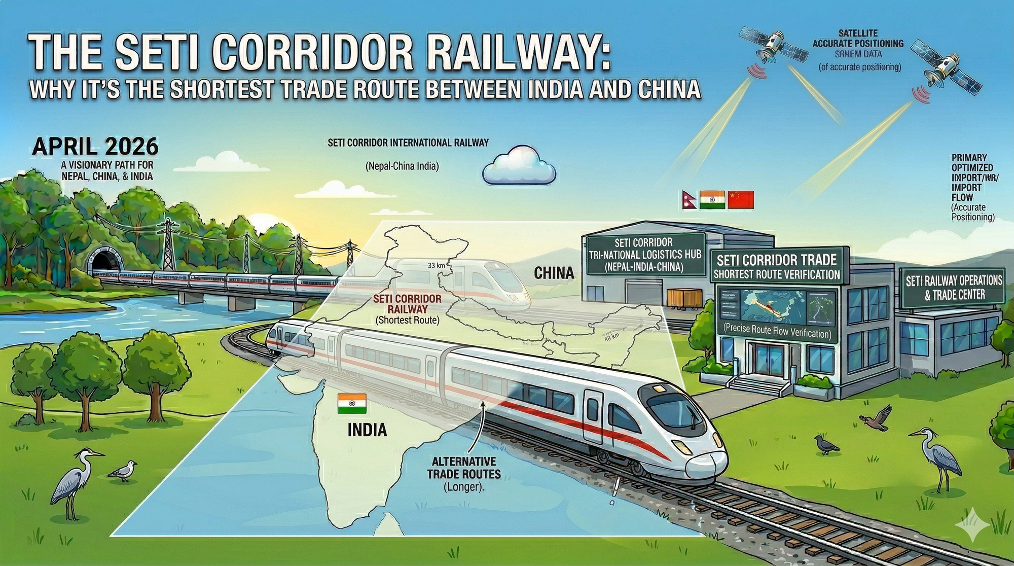
The Seti Corridor Railway: Why it’s the shortest trade route between India and China.
Strategic Discussion Paper
NOTICE: This post is a personal analytical exploration of geographic efficiency. It is NOT an official government proposal or an active infrastructure project.
The Geometry of Trade
Why the Seti Corridor is the Shortest Path Between Giants
A deep dive into the mathematical and geographic advantages of the Gaurifanta-Taklakot rail link.
In logistics, there is no greater asset than the "Great Circle" path—the shortest distance between two points on a globe. For the trilateral trade between the Indian Plains and the Tibetan Plateau, the Seti Corridor isn't just one option among many; it is the mathematical center. While our previous discussions covered the overall blueprint, this analysis explores the raw data and geographic "kinks" that make this specific route the most efficient trade artery in Asia.
1. The Shortest Vertical Axis
Most transit routes in Nepal require lateral movement. For instance, the Kyirong-Kathmandu route or the Tatopani axis serve the central population centers but force goods coming from North India to travel far east before heading north. The Seti Corridor, however, offers a Direct Vertical Axis.
The distance from the industrial hubs of Uttar Pradesh (Lucknow, Kanpur) and Delhi-NCR to the Tibetan highway network (G219) through Gaurifanta/Tikuniya is significantly shorter than any other Himalayan crossing. By utilizing the Far-Western gateway, we reduce the total land-transit distance by an estimated 400 to 600 kilometers compared to current alternative routes. In a high-volume freight economy, every kilometer saved represents a massive reduction in fuel, time, and mechanical wear.
2. Riverine Logic: The Lowest Gradient
A route is only as "short" as its energy cost. If a train must climb steep inclines using extra locomotives (pushers) or engage in long switchbacks (zig-zags), the route effectively becomes longer and more expensive. The Seti River valley offers a unique Geographic Anomaly: a natural, continuous gradient ascent.
The Energy Efficiency Argument
- Continuous Ascent: The Seti basin allows for a managed gradient below 2.5%, allowing heavy Broad-Gauge equivalent freight to maintain speed without massive energy surges.
- Base Tunnel Advantage: By entering the Himalayan core at a lower elevation near Chainpur, the proposed Base Tunnel eliminates the need to climb to the 5,000-meter pass of Urai Bhanjyang. This doesn't just shorten the physical distance; it shortens the "time-to-market."
- Logistical meeting point: As we discussed in our technical strategy, starting mechanical operations from the Chinese side (Taklakot) is essential because the plateau infrastructure allows immediate deployment of heavy Tunnel Boring Machines (TBMs), which would take years to transport through the southern hills.
3. The Digital "Shortest Path"
The efficiency of the Seti Axis extends beyond physical freight. In our vision for 2026, this corridor serves as the shortest path for International Data. Every meter of rail track acts as a conduit for a high-capacity fiber-optic backbone.
By linking the digital centers of New Delhi directly to the Tibetan infrastructure, Nepal provides the lowest latency route for regional data traffic. This geographic advantage is what underpins our proposal for Green Data Centers. We are not just building a track; we are building a high-speed data highway that takes advantage of the cool, high-altitude climate to achieve ultra-low PUE (Power Usage Effectiveness).
Efficiency FAQ
(Expand to see the comparative data)
+ How does this compare to the Kerung (Kyirong) route?
While the Kerung route is vital for Kathmandu, it is geographically "tucked" into central Nepal. For goods moving from Western China to the industrial heartland of India, Kerung requires an extra 500km of lateral transit. The Seti Corridor (Gaurifanta-Taklakot) is a "Straight-Shot" that bypasses the central bottlenecks entirely.
+ Why is "Standard Gauge" essential for speed?
To be the "shortest" route, you must eliminate time spent at transshipment points. Using Standard Gauge (1435mm) allows the Seti Axis to link directly with China’s high-speed and freight networks. When combined with our proposal for The Digital Rupee for automated customs settlement, the route becomes frictionless.
+ What is the role of West Seti in this efficiency?
Efficiency isn't just about distance; it's about cost stability. An electric railway powered by the local West Seti Hydropower Project ensures that trade costs remain immune to global oil price volatility. This makes the Seti Corridor the most economically predictable route in the region.
The Path of Least Resistance
The Seti Corridor Railway is the inevitable answer to a geographic puzzle. It is the shortest trade route between India and China not because we want it to be, but because the mountains and rivers have already dictated it. In 2026, our job is to provide the technological will to fulfill this geographic destiny.